The hiking festival "From the sea to the mountains" is taking place in Ajara for the first time. The festival welcomes experienced hikers to participate. The 45-kilometer hiking route goes entirely through the alpine zone and connects two highland municipalities of Ajara – Khulo and Shuakhevi.
Participants will undertake a 4-day hiking journey accompanied by professional guides, covering the route Chirukhi - Khikhani fortress - Shuamta Lakes - Beshumi -Goderdzi Alpine Botanical Garden. Each participant must have hiking gear, a tent, a sleeping bag, and other necessary equipment for the hike.
Throughout the festival, each hiker will be provided with camp meals: a personalized lunchbox in the morning, a protein bar and electrolyte water for lunch, and a dinner according to the hiking menu in the evening.
The first day of the festival will start in Chirukhi. Hikers will set up their tents near Lake Shratiani, where they will receive instructions and prepare for the first day of hiking.
Starting from the second day, the four-day hiking adventure through highland Ajara will begin. Along the route, festival participants will visit natural and cultural landmarks of Ajara, such as Lake Shratiani and Shuamta, Khikhani Fortress, the Alpine Botanical Garden, and Green Lake. The festival will also include various educational and interactive activities, culinary workshops, and other entertaining competitions.
The culmination of the festival will be the closing event held at the Goderdzi Alpine Botanical Garden.
As part of the festival, hikers will be provided with:
— Transportation (using Delica vehicles along the Batumi-Chirukhi-Alpine Botanical Garden-Batumi route)
— Camp meals three times a day
— Route map
— T-shirts
— Hats
— Entertainment program
— Culinary masterclass
— Instructors
Difficulty level: Easy
Type of route: Walking
Total length of the route: 45 km
Duration of the route: 5 Days
Altitude: 1800-2236 m
Cellular coverage: Partial
Starting point: Chirukhi - 2026 m
End point: Alpine Botanical Garden - 1950 m
Route overview:
The hiking route starts from Mount Chirukhi (Shuakhevi municipality), which is located 103 km from Batumi. The route connects two mountainous municipalities – Shuakhevi and Khulo. The path runs entirely through the alpine zone and ends at the Alpine Botanical Garden (at an altitude of 2025 m above sea level, in Khulo municipality).
Right from the beginning of the route, you will enjoy views of alpine meadows with small wooden houses. In the Chirukhi mountains, you'll come across Lake Chirukhi and the Dzhinali waterfall. From here, the route continues towards Khulo municipality, where you'll see Lake Karagoli, Khikhani Fortress, Shuamta Lakes, and alpine meadows.

Campsite setup
The campsite will be set up in Chirukhi at an altitude of 2050 meters above sea level, near Lake Shratiani next to the garlic fields.
At 5:00 PM, tent pitching and participant training by instructors will begin.

Day 1: Chirukhi - Sarichair Yayla
70% of the route is uphill, 30% is on flat terrain.
In the morning at 9 o'clock, after breakfast, the packing of tents and preparation for the first day of the hike begins. On the same day, the participants need to travel from the administrative unit of Shuakhevi to the municipality of Khulo. Along the way, you will see Khulo's summer pastures, panoramic views, and Lake Shratiani. The main part of the route, 70%, is an uphill climb, while the remaining 30% is walking on flat terrain. At the end of the day, the campsite will be set up near Lake Karagoli and the Sarichair yaylas. Considering the terrain, the tents will be arranged unevenly.

Day 2: Sarichair Yayla - Hikani Fortress
80% of the route is downhill, 20% uphill
In the morning at 9 o'clock, after breakfast, the second day of the hike begins. On this day, the participants will leave Sarichair Yayla as the route continues towards Khikhani Fortress. Half of the path goes through yaylas, and the other half through spruce forest. 80% of the route is downhill, and 20% is uphill. Since the route passes near the border between Georgia and Turkey, hikers will need to stop for a while to present identification documents to the border guards and obtain a permit.

Day 3: Khikhani Fortress - Shuamta Lakes
70% of the route is uphill, 10% downhill, and 20% on flat terrain.
On the third day of the hike, after breakfast, hikers can ascend to Khikhani Fortress. The path leading to the fortress is well-maintained with stairs, making the climb easier. Khikhani Fortress is situated at 2236 m above sea level. Built in the 12th-13th centuries, it occupies about 1 hectare and offers views of the surrounding gorge.
After exploring Khikhani Fortress, the hike to Shuamta Lakes will begin in the afternoon. 70% of the path is uphill, 10% is downhill, and 20% is on flat terrain. At the end of the day, the campsite will be set up near Shuamta Lakes.

Day 4: Shuamta Lakes - Alpine Botanical Garden
On the final day of the festival, participants will set up camp in Khulo, at the Alpine Botanical Garden. In the evening, a closing event with music and other activities will be held within the garden.

Day 5: Return to Batumi

Erekle Chikvaidze
Instructor
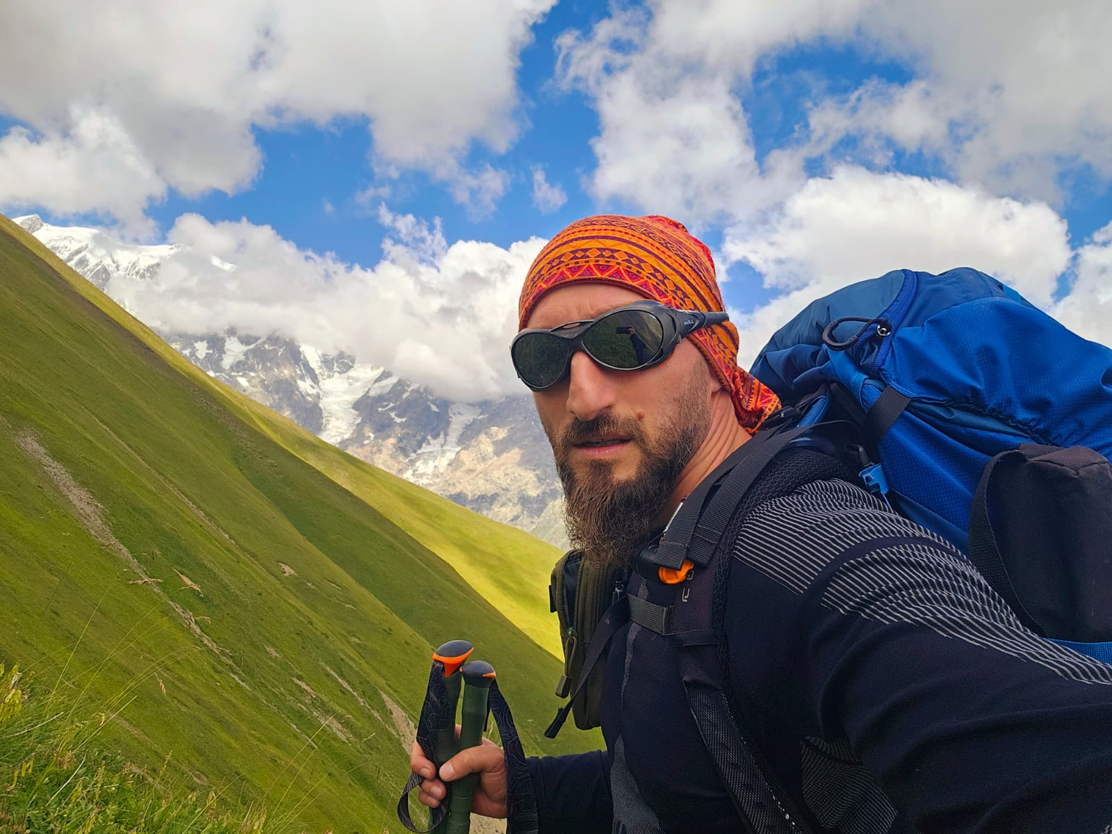
Beka Bolkvadze
Instructor

Vakho Mikeladze
Instructor
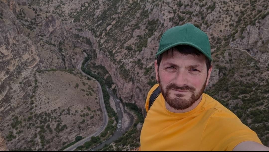
Mindia Bazhunaishvili
Instructor

Giorgi Megrelidze
Instructor
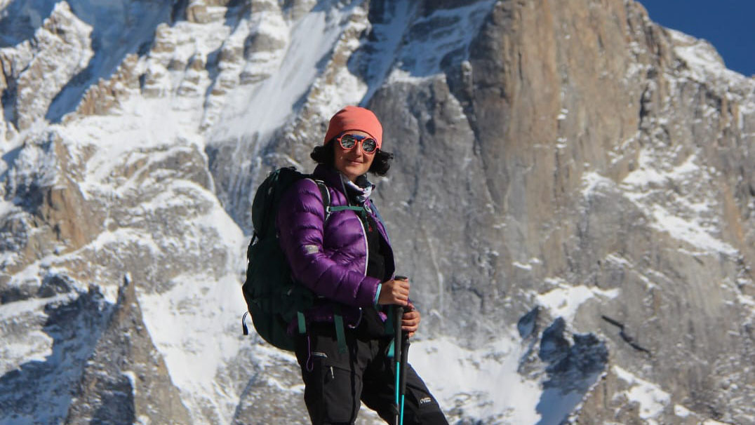
Rusudan Varshalomidze
Instructor

Tamta Abuselidze
Instructor

Gela Chikvaidze
Instructor
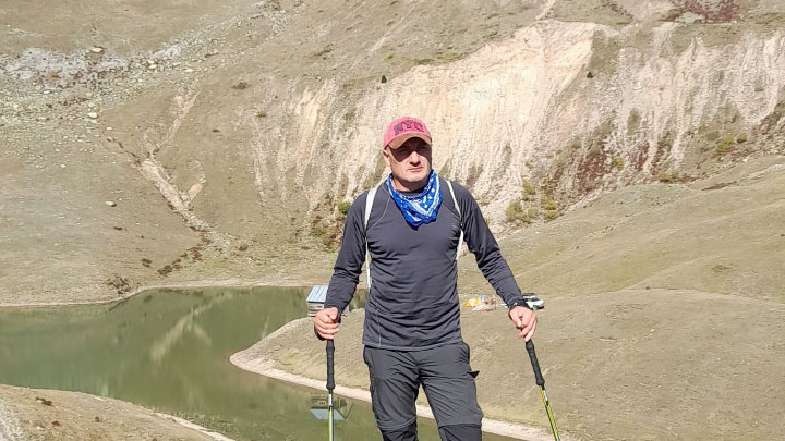
Roman Khalvashi
Instructor

Levan Tsivadze
Instructor
List of essential items to carry:
— Passport/ID card
— Camping tent – 4000 mm
— Sleeping bag -2 C to 0 C
— 50-liter backpack
— 2 pairs of hiking shoes
— Long pants
— 5 T-shirts
— Warm clothing
— Replacement clothes
— Cap
— Sunglasses
— Flashlight
— Water bottle - 1.5-2 liters
Personal hygiene items:
— Sunscreen (50 SPF)
— Lip balm
— Toothpaste and toothbrush
— Towel
— Dry and wet wipes
— Hand sanitizer
— Reusable cup and spoon
Food:
— Camping food (provided by the agency)
— Raincoats (provided by the agency)
